Day 1: Rawalpindi to Chilas
Rawalpindi commonly known as Pindi among people of Pakistan is a city in Punjab adjacent to the capital Islamabad. It also acts as a center point for the travelers who wish to travel to Northern Area, Kashmir or Khyber Pakhtunkhwa region. There are numerous expensive as well as budget hotels and restaurants in Pindi so one can stay effectively in Pindi for whatever length of time that one wish, there are various places in Pindi that can also be visited. After staying for one day in Rawalpindi, we begin our excursion toward Gilgit-Baltistan on 7th September, 2017.
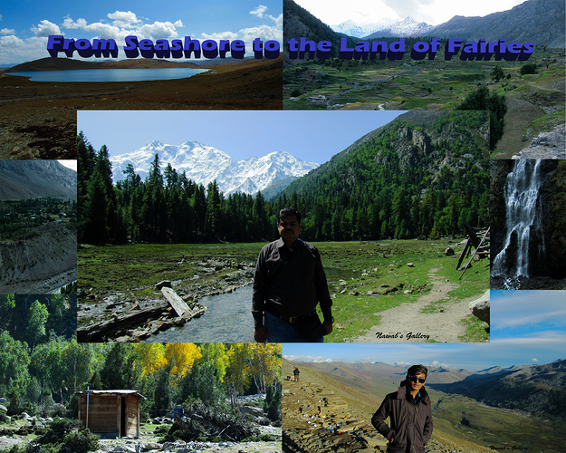
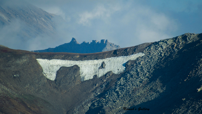
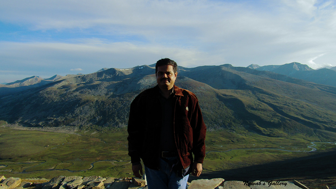
Our first destination is Fairy Meadows. Fairy Meadows, named by German climbers (German Märchenwiese, ″fairy tale meadows″) and locally known as Joot, is grassland near one of the base camp sites of the Nanga Parbat, located in Diamer District, Gilgit-Baltistan, Pakistan. At an altitude of about 3,300 meters above the sea level, it serves as the launching point for trekkers summiting on the Raikot face of the Nanga Parbat. To make it to Fairy Meadows we first have to spend a night in Chilas city so that we can travel toward Fairy Meadows in the morning. Chilas is a town between Naran and Gilgit. It is a point at which the Mansehra-Naran-Chillas highway connects with Karakorum Highway, with hotels, restaurant, and marketplace this town serves as the short-term stop or even for a night stay for those travelling on Karakorum Highway. And to go to Chilas, on the previous day I contacted different Rent-a-Car services and agreed with a guy to ride to Chilas in his car, as he is giving the minimum rates.
We woke up at 5 AM and started to get ourselves ready for the journey. We have asked the driver to arrive at 6:00AM so that we can start our journey early morning and reach Chilas before sunset. But the driver was 30 minutes late as he was unable to find our house in Sallay Valley and me and my cousin have to reach a nearby market to drive him till our house.
We place our baggage in the car trunk and our long awaited journey started on Pindi-Peshawar motorway. At that time there was less traffic and we were travelling smoothly. We were getting a charge out of each snippet of it as well as every one of us is exceptionally amped up for this excursion. At Abbottabad Mor, our car took a right turn and now we are travelling on the Eighth Wonder of the World, “The Karakorum Highway (N35)”. Previously we have travelled on this highway on our trip of Khunjerab Pass. Details of my trip to Khunjerab Pass can be read on by post of “From South End (Karachi) to North End (Khunjerab Pass) of Pakistan [-12ft to 16002ft]” [https://www.pakwheels.com/forums/t/from-south-end-karachi-to-north-end-khunjerab-pass-of-pakistan-12ft-to-16002ft/252139]. As of Wikipedia, The Karakoram Highway (KKH) is one of the highest paved international roads in the world. The 1,300 km (806 km in Pakistan) long highway connects the Xinjiang Uyghur Autonomous Region of China and Gilgit–Baltistan of Pakistan across the Karakoram mountain range, through the Khunjerab Pass. Due to its high elevation and the difficult conditions in which it was constructed, it is referred to as the Eighth Wonder of the World.
Since this part of Pakistan is mountainous, our car now started ascending up the hills. After travelling for nearly an hour toward Abbottabad our driver told us that he has to have breakfast and we stop for some time at a roadside restaurant. It was a nice restaurant and while our driver was having breakfast, we opt to have a cup of tea.
As soon as our drive finishes his breakfast our journey toward Chilas started again. Crossing many small towns, rivers and travelling through green forest we reached Abbottabad city. Abbottabad is a city located in the Hazara region of Khyber Pakhtunkhwa province at an altitude of 4,134 ft. The city is bounded on all four sides by the Sarban hills, from which residents and tourists can see breathtaking views of the region and city. The location of the city and the hills allows Abbottabad to experience pleasant weather in the summer and cold winters. The Dor River flows south of Abbottabad through the town of Harnol, eventually reaching Tarbela Dam, situated west of Abbottabad.
The weather in Abboatabad was extremely hot and there was also a very severe traffic jam in Abbottabad and that squandered our part of the time. We also need to buy a thermos so we stop in Abbottabad for about 30 minutes before proceeding toward our destination.
Travelling through beautiful valleys of Mansehra, Balakot and Kaghan we arrived at Naran nearly about 2:00 PM. Our driver stopped for lunch, but we were not feeling hungry so we bought some biscuits and juices and wander around for a while.
At Naran, the sun was shining with its full strength and it was exceedingly hot, but the wind blowing was cold which is making it very difficult to stay there. Immediately after our driver finishes his lunch we started our journey again.
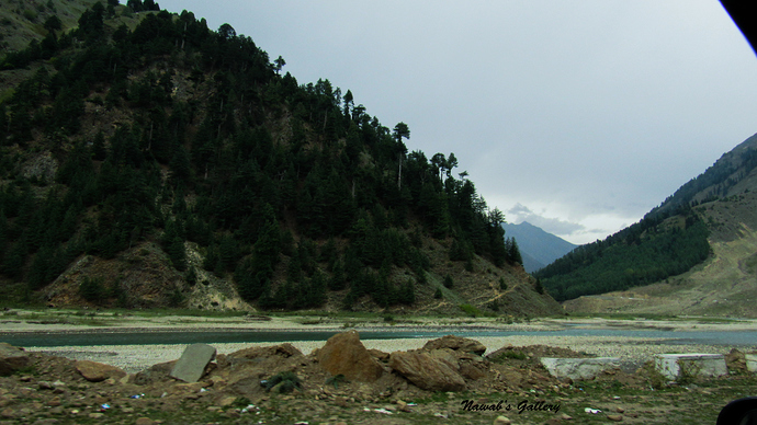
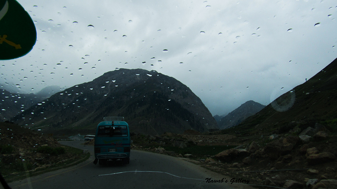
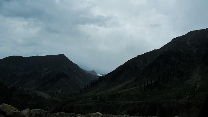
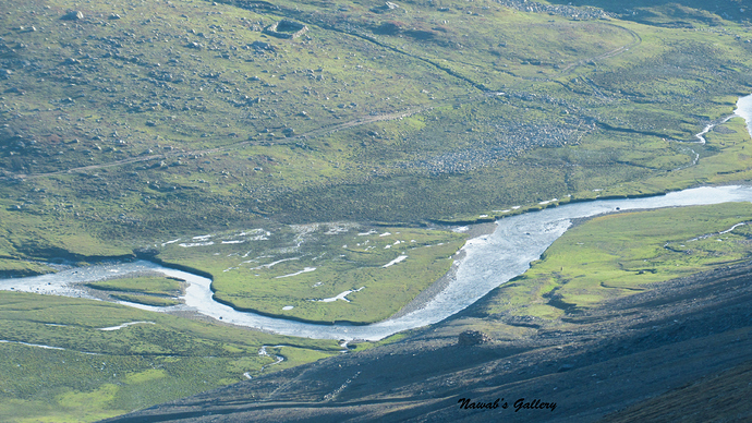
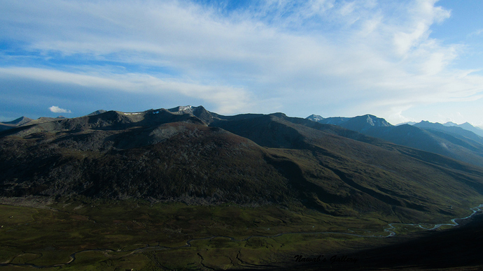
As soon as we attain Batakundi, another most marvelous spot of Kaghan Valley the weather suddenly changed and it starts raining creating a stunning environment. Our journey becomes magically beautiful as we are travelling in a valley surrounded by snow covered peaks, lush green mountains covered with pine forests and the river Kunhar travelling in parallel.
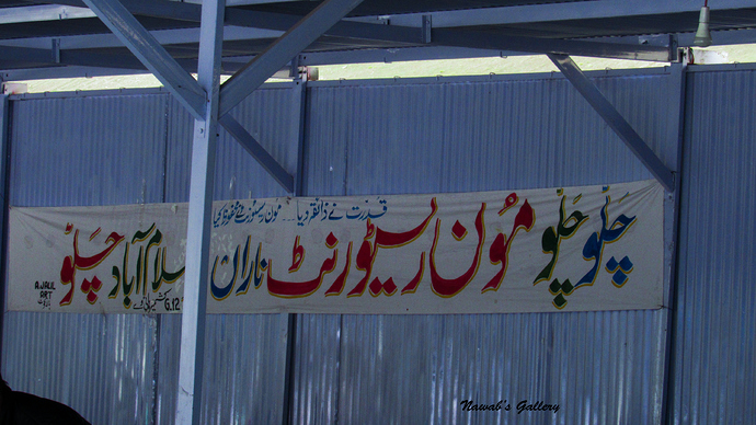
We were having an awesome drive along the beautiful valley and after sometime, our car stops at a spot called Jalkhad. It is an area where at one side of the road is High Mountain and on the other side is Kunhar River, with its fresh and clear water flowing toward Naran. We were told by our driver that we will stop here for 10 to 15 minutes before moving forward toward Chilas. We rambled around for a while captured some photo shot and then had the thermos filled with tea at the famous Moon Restaurant and then continued our journey.
In this area, there are many lakes and the two most popular lakes, the Payala (Bowl) lake because of its appearance that resembles a bowl and the Lulusar Lake, passes along the itinerary we are travelling along. After a 2 km drive we stop to view the Payala Lake, the lake is deep down from the road but it can be seen. Another lake that rests on this route is Lulusar Lake. Lulusar is a group of mountain peaks and a lake in the Kaghan Valley. At 11,190 ft. it is the primary headwaters of Kunhar River, and is some 48 kilometers from Naran, on the road ascending toward Babusar. With mirror-like water reflecting the surrounding snowcapped Lulusar Mountains, it is believed the biggest lake in the Kaghan Valley.
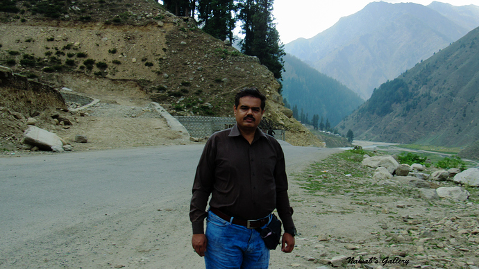
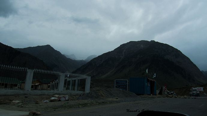
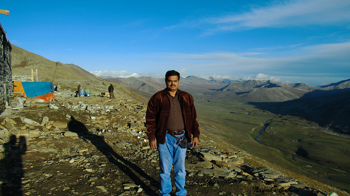
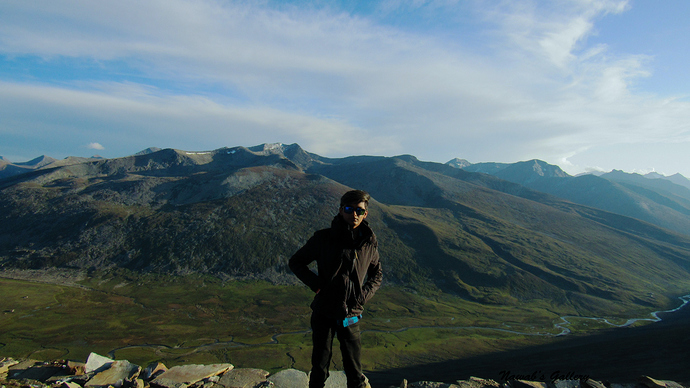
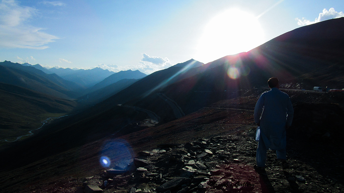
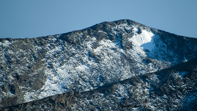
The road to Chillas goes above the mountains and passes through the highest point in Kaghan Valley, the Babusar Pass, which is the highest peak in the Kaghan Valley (13,700 ft.). Equally, we were going upward on the mountain the weather is getting colder & colder. At the time when we were at Babusar Pass, the weather was sunny but windy and the temperature was very low making us feels really cold. We stopped there to hold a cup of tea and some snacks and then after capturing some snaps we ride back in the car to precede our journey.
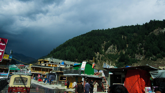
We were at the highest peak of this route, now the road toward Chilas started ascending. Running up & down, left & right, crossing bridges & water streams flowing along the road from the mountains, mesmerizing the green plains, the trees and the potato & corn crops harvested by the locals we reach at the point where Mansehra-Naran-Chilas road meets Karakoram Highway. For there we took a left turn and start travelling toward Chillas. There are two parts of Chilas the one that is along the Karakoram Highway and it has Hotels, Restaurants, Shops, Banks and Automobile Workshops for those travelling on the highway. And the other part is the main city which is about 15 minutes’ drive from Karakoram Highway up on the mountain.
I had an awesome friend in Chilas and as we have to spend a night there so he has arranged us a Hotel room in the main city of Chilas, near DC Choak. It was a decent hotel and being a recently constructed hotel it is a neat and clean one. After having some chit chat with my friend we went downstairs to have the dinner of Biryani (rice) and Qorma (curry). Completing the supper and saying farewell to my friend we returned back to our room to have some sleep as we need to wake up early in the morning to go toward Fairy Meadows.
@asattar1995 @rehankillbill @Saeed15 @nomee2004