And last part of the trip, the statistics and GPS route. Important data is highlighted.
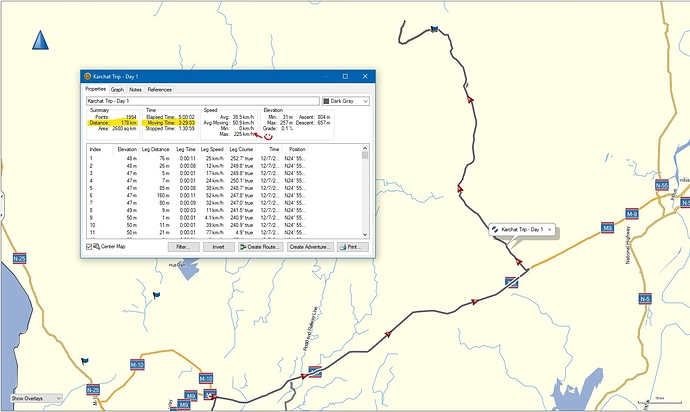
This shows day 1 travel stats. Almost 3:30hr drive time, and about 176KM total distance from Karachi.
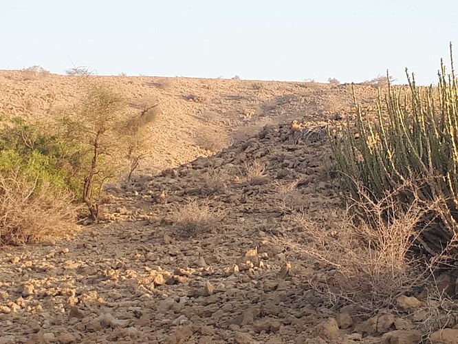
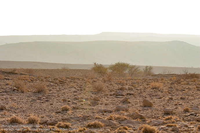
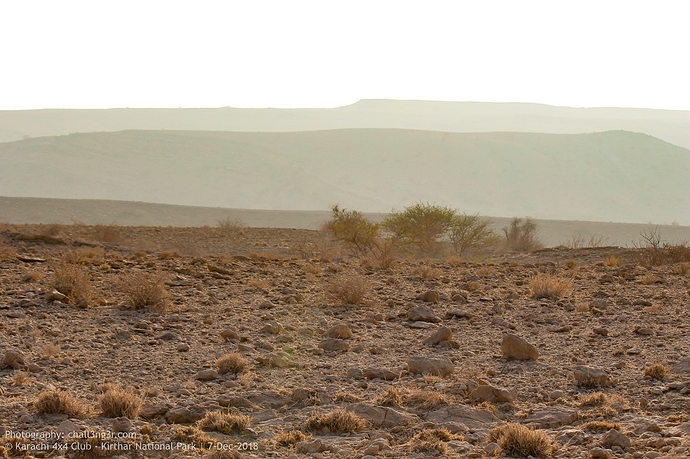
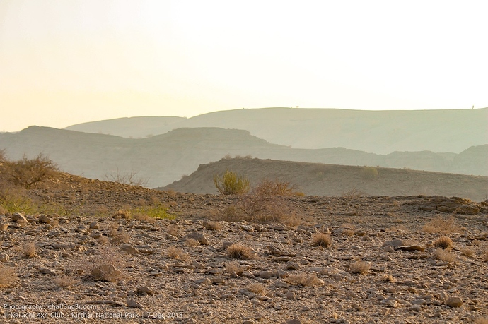
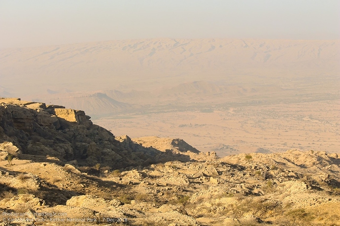
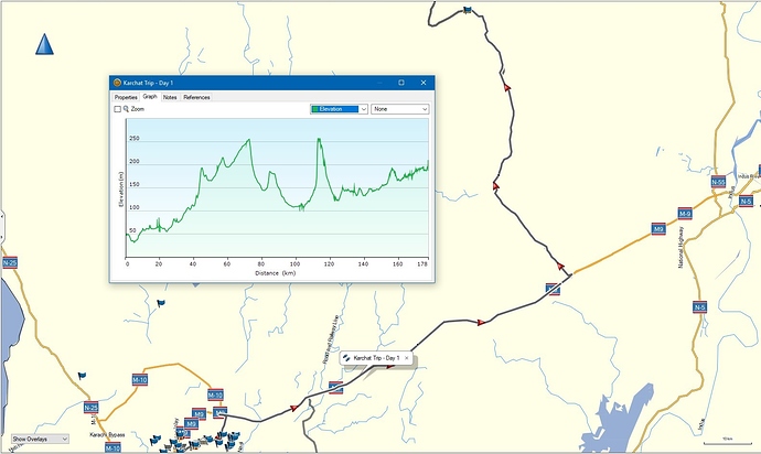
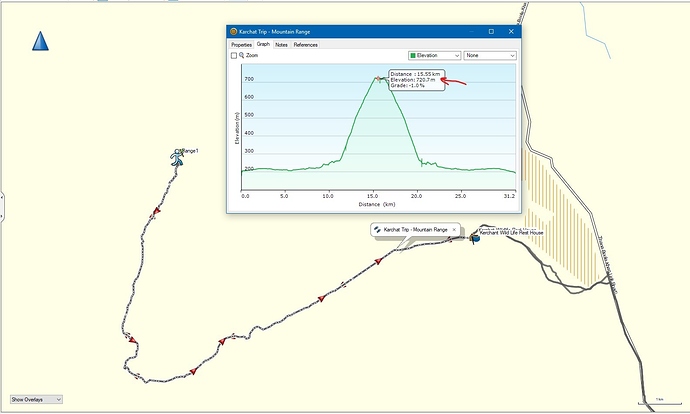
Elevation variations up to rest house, there were some steep climbs around Thana Bola Khan.
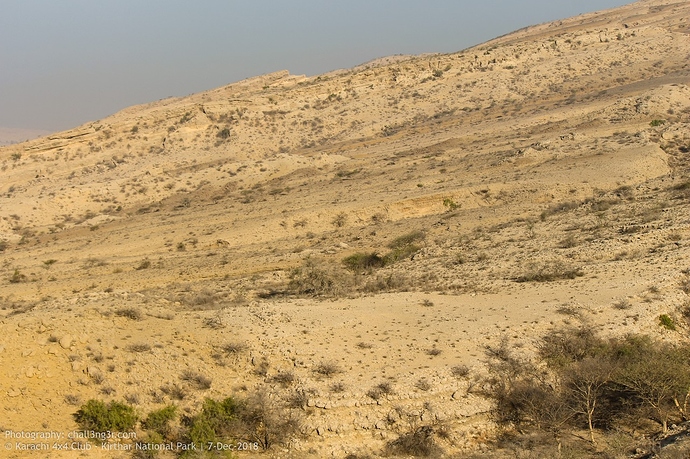
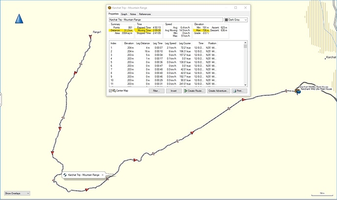
Route and stats from rest house to mountain top. Total 15.5KM long climb, with ~720 meter height. It took about 1hr and 20 mins to reach top and we stayed there for couple of hours.
This graph gives better idea of elevation,
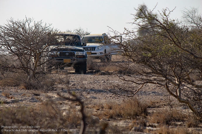
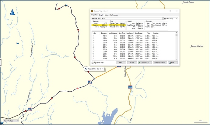
On our way back, it took us over 6 hours and 235KMs of driving because there was some protest going on on M9 and traffic was blocked. We took detour to southern bypass link road to N5, and from there to Sh. Faisal and back home at around 5pm.
I have exports of GPX files for route we took, so they can be loaded in Garmin GPS or Google My Maps app to follow same path we did. If anyone needs them, send me a PM with your email, and I'll be happy to share.
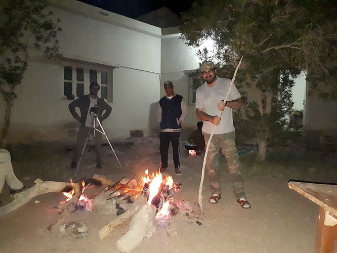
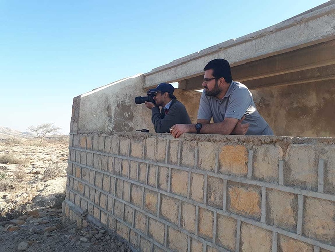
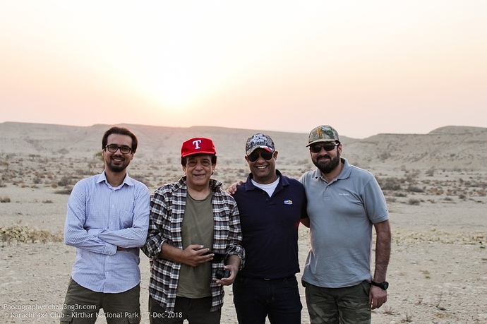
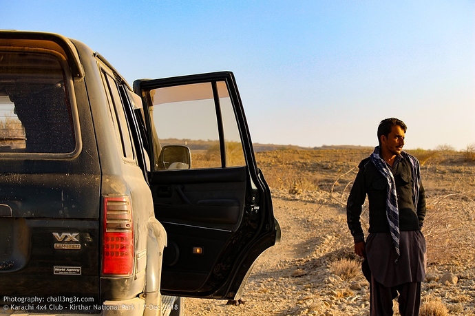
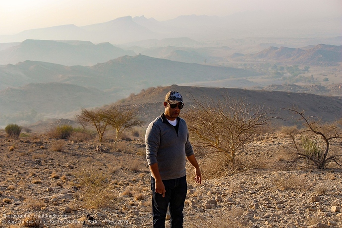
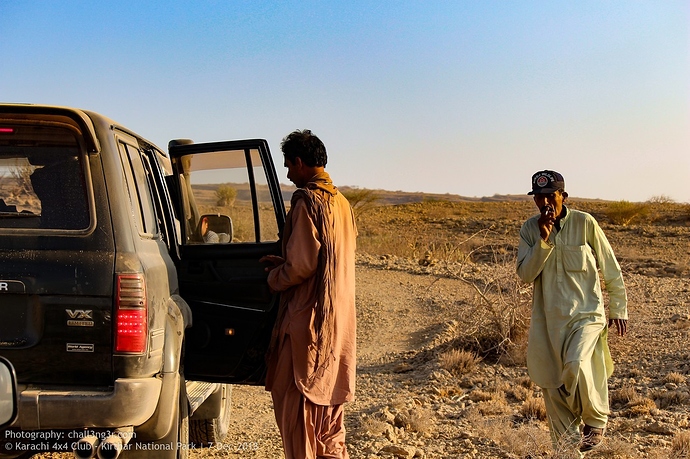
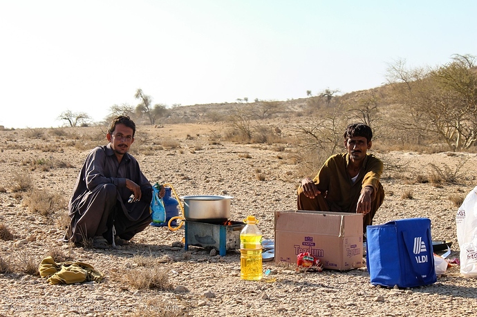
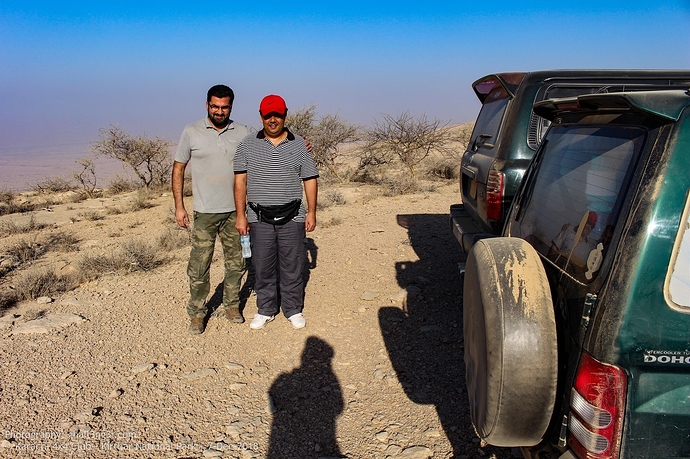
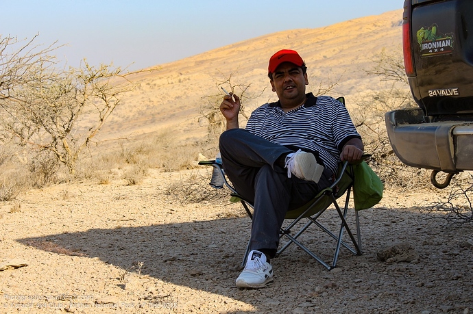
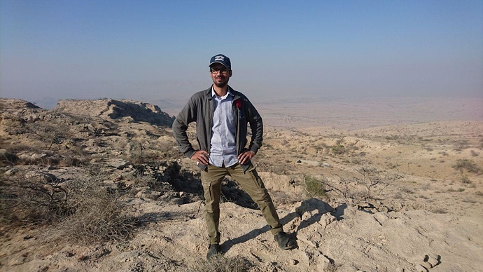
Ask any questions you may have or leave your feedback for our Kirthar National Park Trip.